![]()
An itinerary through the Hoyos de San Antonio valley, with a very particular morphology and where we will be surprised by interesting discoveries of Jurassic fossil remains, green rocks, a water-filled sinkhole, and a special view of the mogotes.
![]()
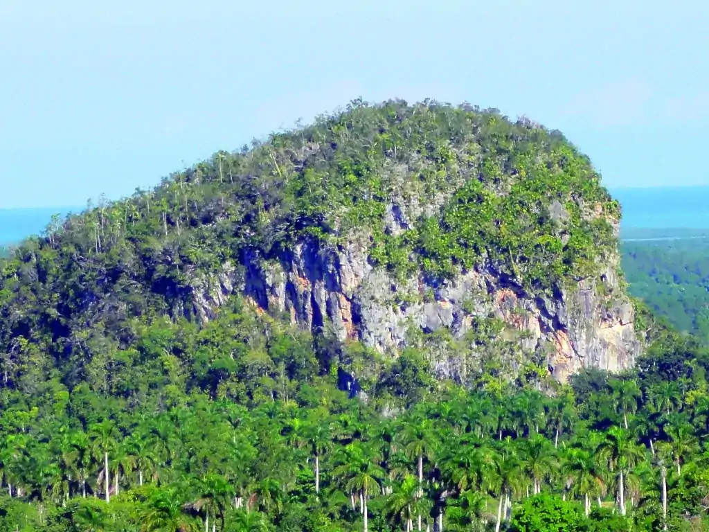
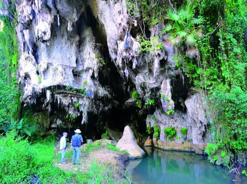
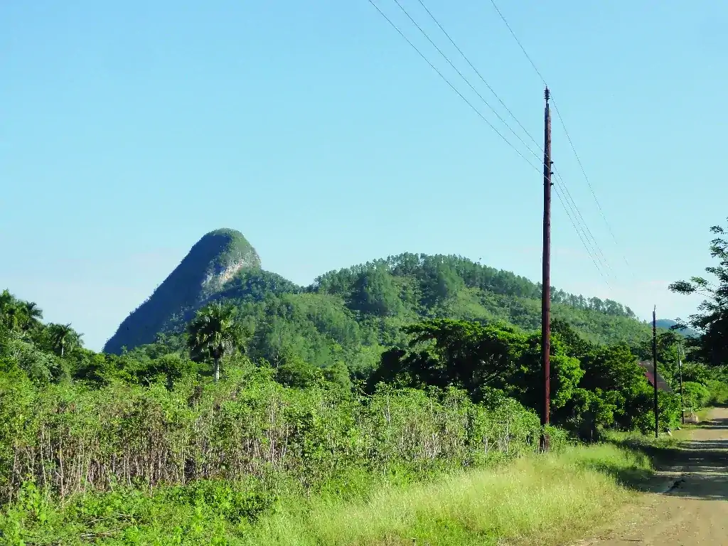
View of the isolated mogote of Zacarías, the incredible discovery of a closed valley (Hoyo de Jaruco), caves with fossils and cave paintings.
![]()
Excellent panoramic view of the mogotes of Viñales from a privileged place: the La Ermita hotel. Passage through the impressive Puerta de Ancón. Access to the José Miguel tunnel cave (Viñales Cave) with exit to the Palenque de los Cimarrones.
![]()
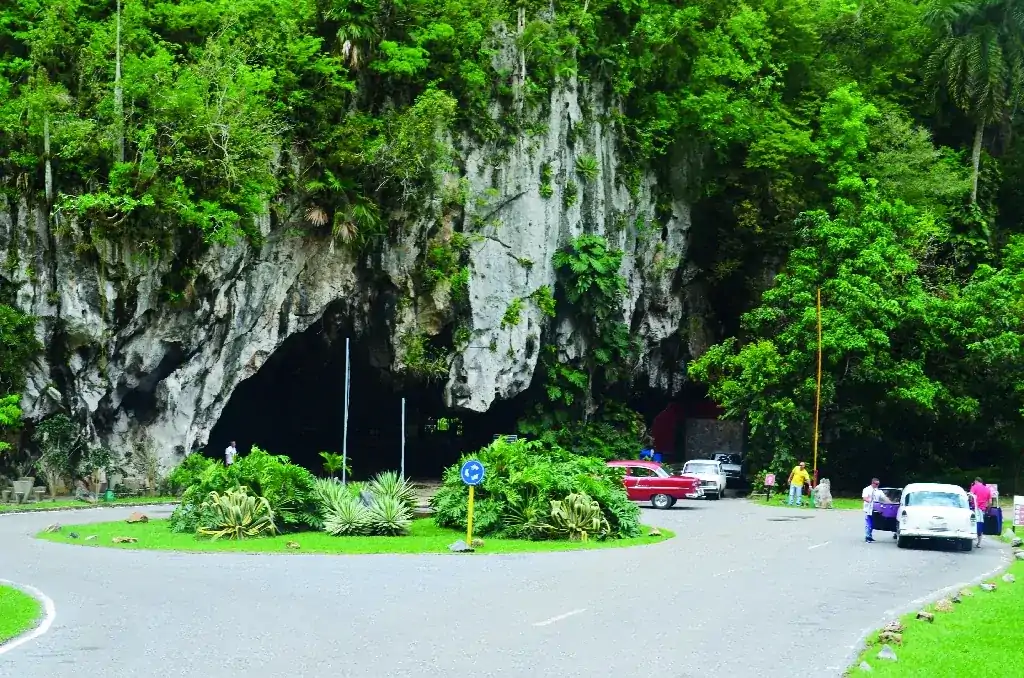
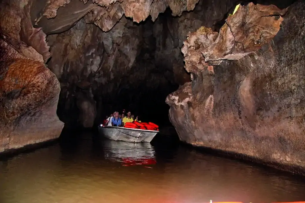
Indio Cave, a boat ride on the underground river, and hot springs at the San Vicente spa.
![]()
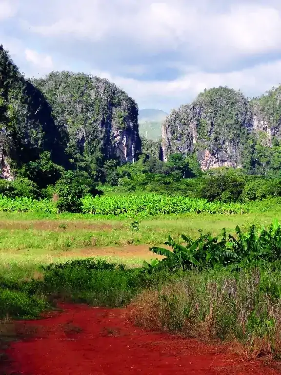
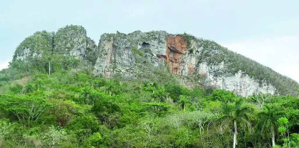
Panoramic view of the Mountains and Gap of Ancón, spring of the Abra River, and violet limestones of the Ancón Formation.
![]()
View of the isolated mogote of Zacarías, the incredible discovery of a closed valley (Hoyo de Jaruco), caves with fossils and cave paintings.
![]()
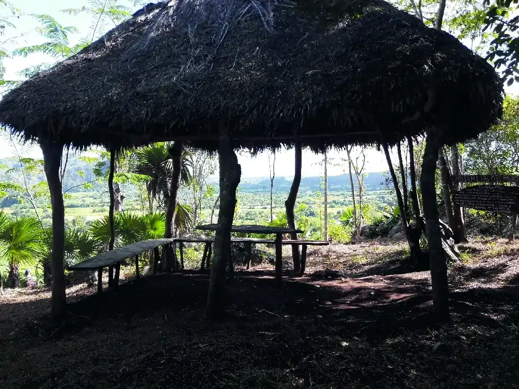
Pleasant walking itinerary along a very pleasant path, a short tour through a cave that crosses a hill and ends in Los Acuáticos (The Aquatics) with a unique view from a high point.
![]()
Long walking itinerary for hikers, where excellent examples of karst formations are observed, such as sinkholes and caves. There are folds, vertical transverse shearing, a collapsing mountains, chaotic sequences, and spectacular panoramic views.
![]()
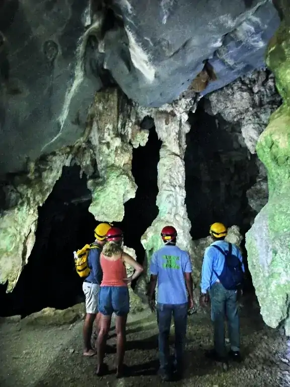
A short but information-rich itinerary: visit one of the best outcrops of the K/Pg boundary in Cuba, marking the moment of the dinosaur extinction due to the impact of a large meteorite, and the Great Cavern of Santo Tomás.
![]()
A 5 km round-trip hike, crossing the Pan de Azúcar River which emerges from the Sierra Derrumbada, responsible for excavating cavern systems in the region. Magnificent views of sierras and mogotes. Abundant limestone concretions “cheeses” with Jurassic macrofossils.