
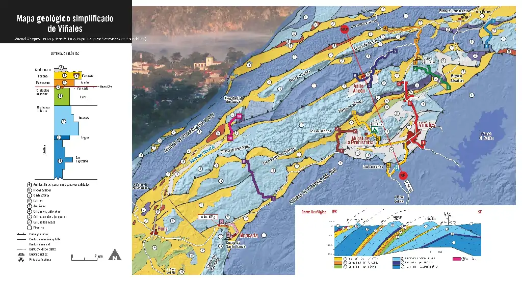
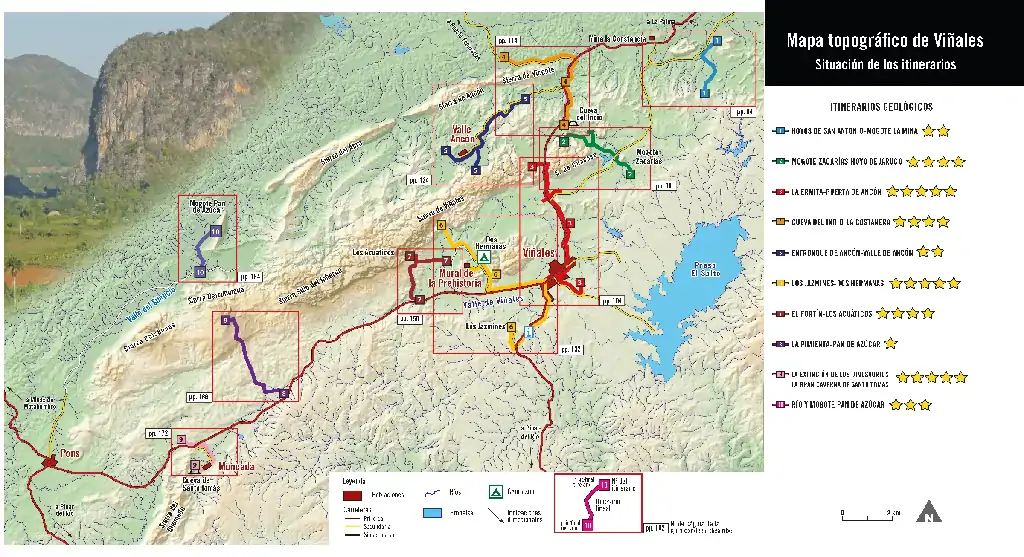
GEOROUTE 1 - HOYOS DE SAN ANTONIO-MOGOTE LA MINA
An itinerary through the Hoyos de San Antonio valley, with a very particular morphology and where we will be surprised by interesting discoveries...


GEOROUTE 2 - MOGOTE ZACARÍAS - HOYO DE JARUCO
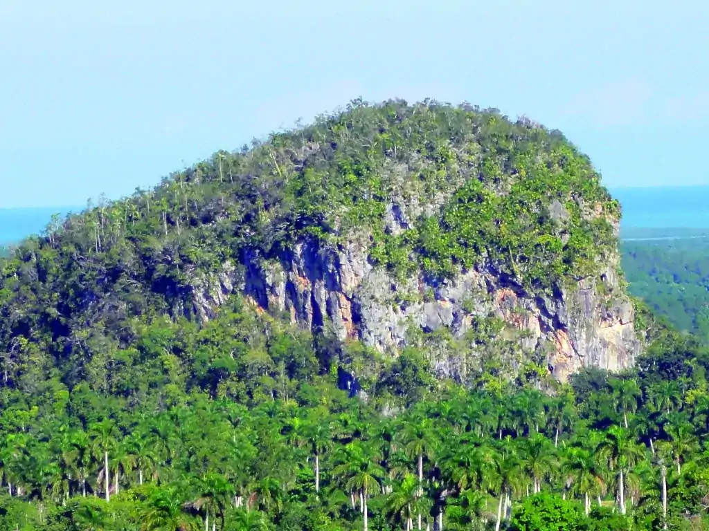
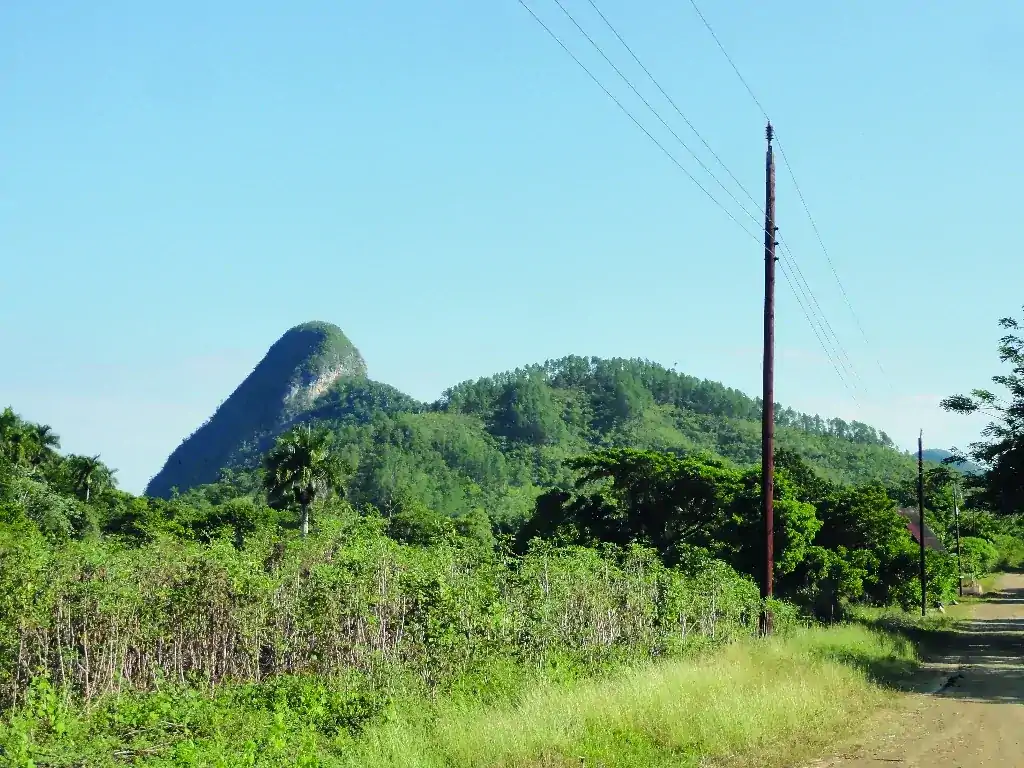
View of the isolated mogote of Zacarías, the incredible discovery of a closed valley (Hoyo de Jaruco), caves with fossils and cave paintings...

GEOROUTE 3 - LA ERMITA - PUERTA DE ANCÓN
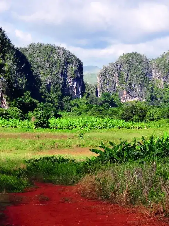
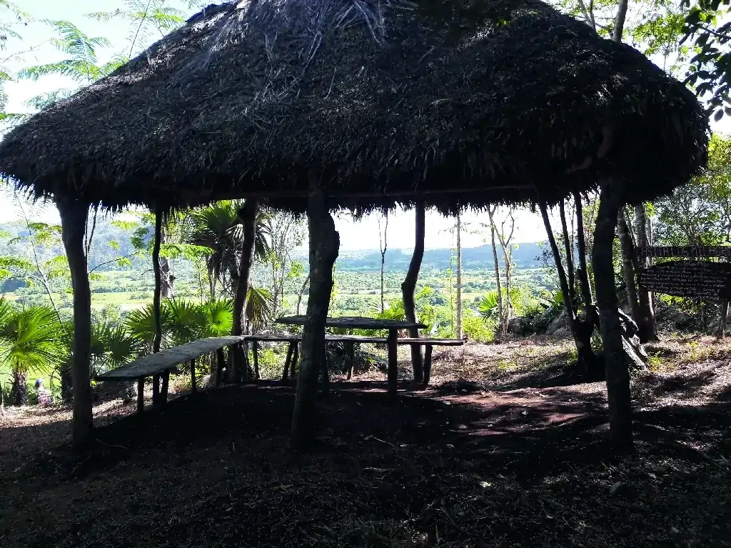
Excellent panoramic view of the mogotes of Viñales from a privileged place: the La Ermita hotel...

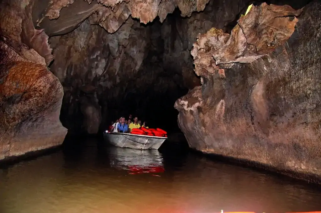
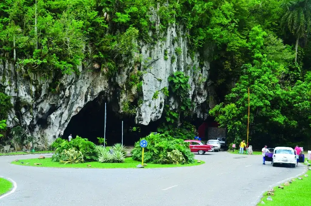
GEOROUTE 4 -- INDIO CAVE -- LA COSTANERA
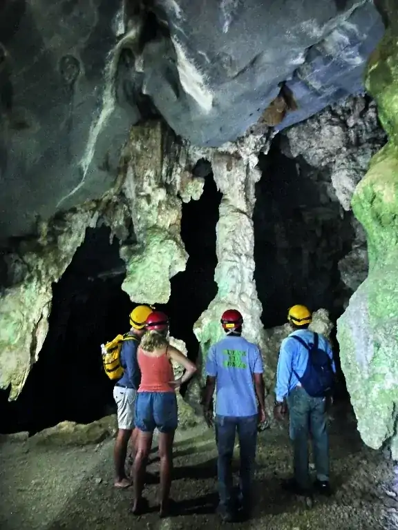
Indio Cave, a boat ride on the underground river, and hot springs at the San Vicente spa...
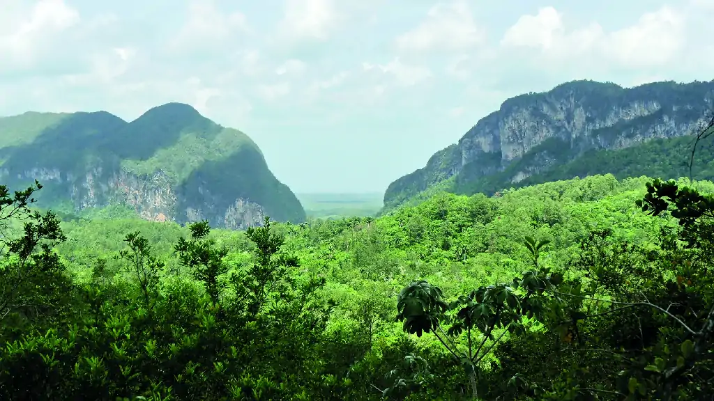
GEOROUTE 5 - ANCÓN JUNCTION- ANCÓN VALLEY
Panoramic view of the Mountains and Gap of Ancón, spring of the Abra River, and violet limestones of the Ancón Formation...
GEOROUTE 6 -- LOS JAZMINES -- DOS HERMANAS
View of the isolated mogote of Zacarías, the incredible discovery of a closed valley (Hoyo de Jaruco), caves with fossils and cave paintings...
GEOROUTE 7 -- EL FORTÍN -- LOS ACUÁTICOS
Pleasant walking itinerary along a very pleasant path, a short tour through a cave that crosses a hill and ends in Los Acuáticos (The Aquatics)...

GEOROUTE 8 -- LA PIMIENTA- PAN DE AZUCAR
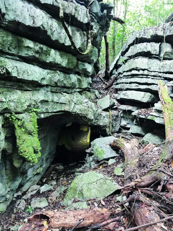
Long walking itinerary for hikers, where excellent examples of karst formations are observed, such as sinkholes and caves...
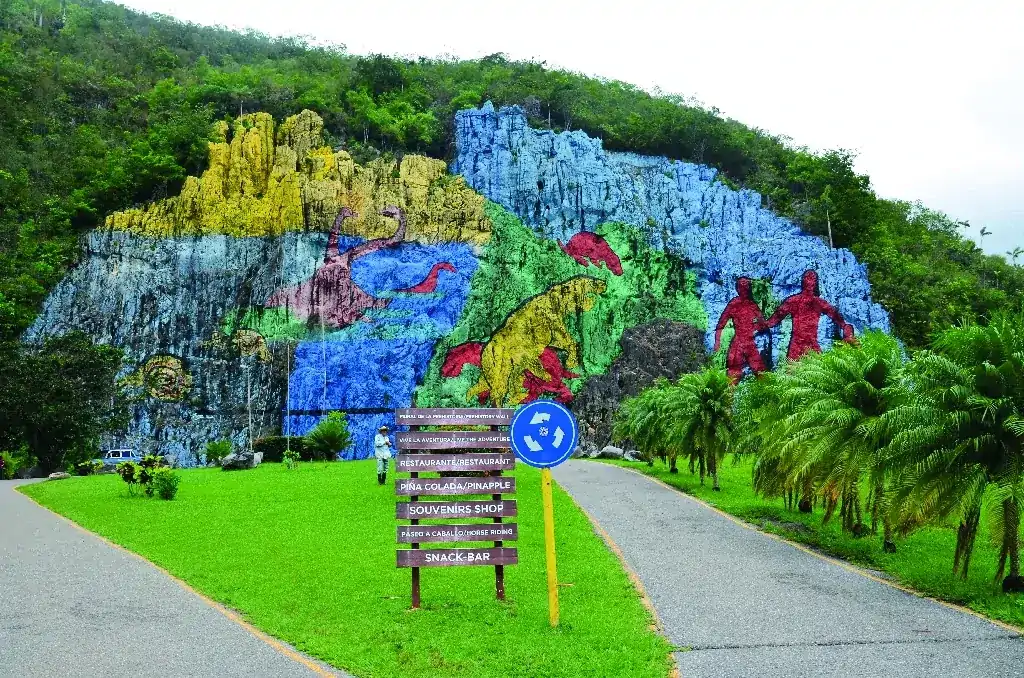
GEOROUTE 9 – THE EXTINCTION OF THE DINOSAURS – THE GREAT CAVERN OF SANTO TOMÁS
A short but information-rich itinerary: visit one of the best outcrops of the K/Pg (Cretaceous-Paleogene) boundary in Cuba...

GEOROUTE 10 – RIVER AND MOGOTE – PAN DE AZÚCAR
A round-trip route of about 5 km, crossing the Pan de Azúcar (Sugar bread) River, which emerges from the northern slope of the Derrumbada Mountains...

